The increasingly availability of Geospatial technologies and open data are making a global impact on Natural Resources Management and Conservation. With local talents, these can be turned into smart and impactful solutions in the society. At the same time, the new generation in Higher Learning Institutions (HEIs) need to master not only the data and the tools, but also the elastic interface between technologies’ potential and societies’ emerging needs, for innovative and impactful solutions on Natural Resources Management.

Group photo on the first day of training
This has been highlighted in the training that was conducted by Sokoine University of Agriculture (SUA) under the project titled “Social innovations in Geospatial and ICT education at Tanzanian HEIs for improved employability (GEOICT4e) in cooperation with Open Map Development Tanzania (OMDTZ).
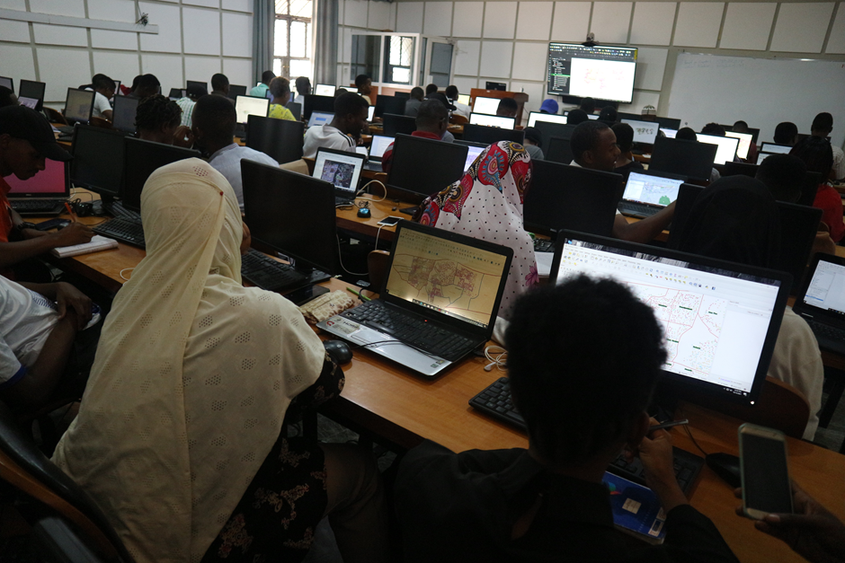
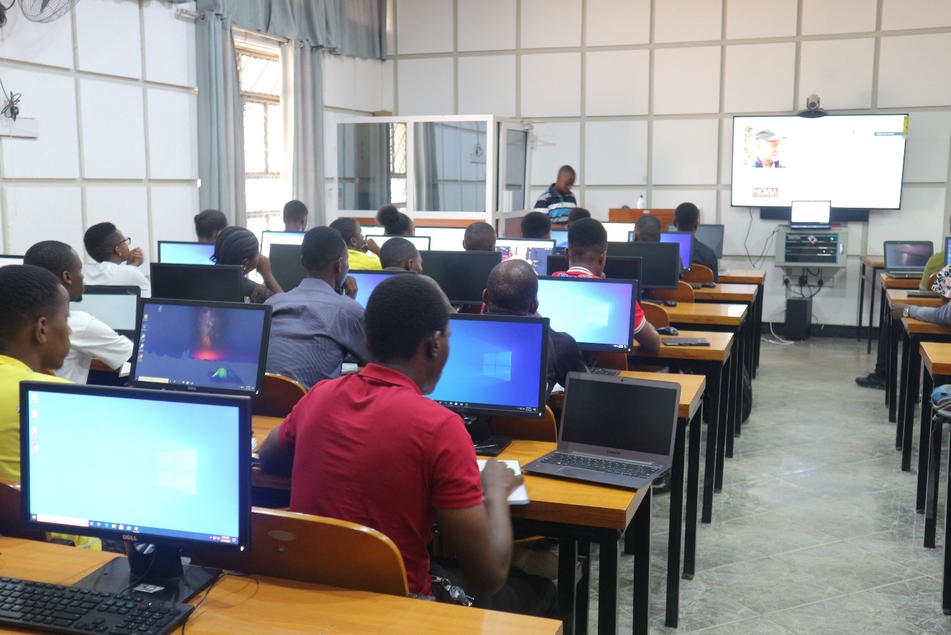
The training was conducted for five (5) days with the focus on mobile data collection and Quantum GIS for data visualization and mapping. The training had been attended by finalist students from Bachelor of science in Forestry (BSc FOR) and bachelor of science in Environmental Science and Management (BSc ESM).
The practical work was done in the computer lab located at Sohomon Mahlangu campus under the Directorate of Information and Communication Technology (DICT).
We anticipate that, this training will widen the employability opportunities for our students given the wide applicability of Geospatial technologies in sustainable management of natural resources. For more information about the project you can visit https://www.geoict.org